


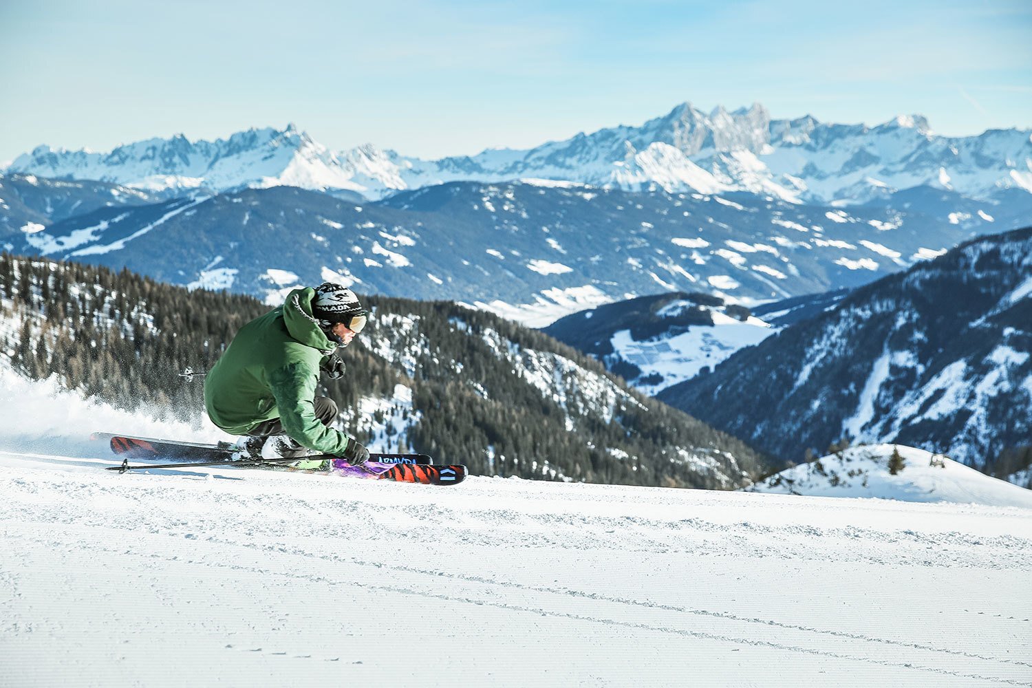
Slopes
Would you like to explore the mountain together with your children? Or do you want to enjoy every minute of skiing or snowboarding rather than just speed down black slopes? In that case, the Shuttleberg is the right place for you.
Easy slopes and fast, comfortable chairlifts are what make this ski area stand out - there are 40 kilometers of slopes in total, 19 of which are blue slopes. Therefore the ski area is ideal for families with children who already know how to ski or snowboard. But also relaxed winter sports enthusiasts enjoy relaxed downhill runs away from the crowds and demanding skiers and snowboarders will be delighted with our red-black pistes towards Kleinarl, which are free of crossings.
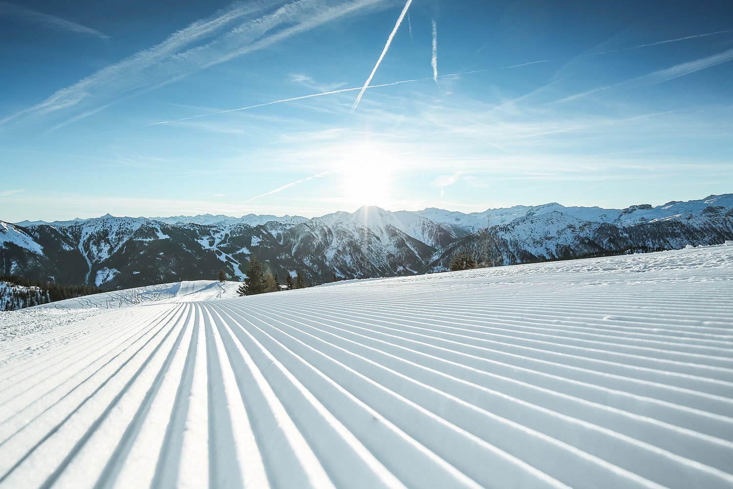
All slopes on the Shuttleberg are groomed daily by our experienced staff and are safe to have snow - modern snow machines and three storage ponds guarantee you (at appropriate temperatures) enough snow from December to April.
Numbers & facts
Piste kilometers Shuttleberg: 40 km
- easy: 19 km
- medium: 7 km
- heavy: 2 km
- ski routes: 8 km
- parking areas: 4 km
- longest descent: 6,7 km
Numer of lifts: 9
- detachable chair lifts: 7
- T-bar lifts: 2
- conveyor belts: 2
Piste kilometers ski amadé: 760 km
The Shuttleberg Flachauwinkl - Kleinarl is located in the center of Ski amadé, Austria's largest ski alliance. Multi-day ski passes are therefore valid for five ski regions and 760 kilometers of slopes in the Salzburg region and neighboring Styria - ideal for skiers and snowboarders who like to make kilometers.
Freestyle snowboarders and freeskiers can choose between six pro parks, including the Absolut Park in Flachauwinkl, and several small snow parks.
Ski map
Our innovative Reality Map replaces the classic, painted panorama of the slopes, which is still common in most winter sports areas today. The advantage ist that the Google Earth-style map is realistic and true to nature and all information is geographically marked in the right place. This way you can easily find your way around our winter sports resort.
Would you like to know more about how we created the map? The reality map is based on an orthophoto, i.e. a distortion-free and true-to-scale image of the earth's surface. Several aerial photos were taken from an airplane with a camera and a laser scan device. These were recalculated using digital terrain models and georeferenced by points with known coordinates. Thus distortions are compensated by height differences of the terrain or by the earth's curvature.
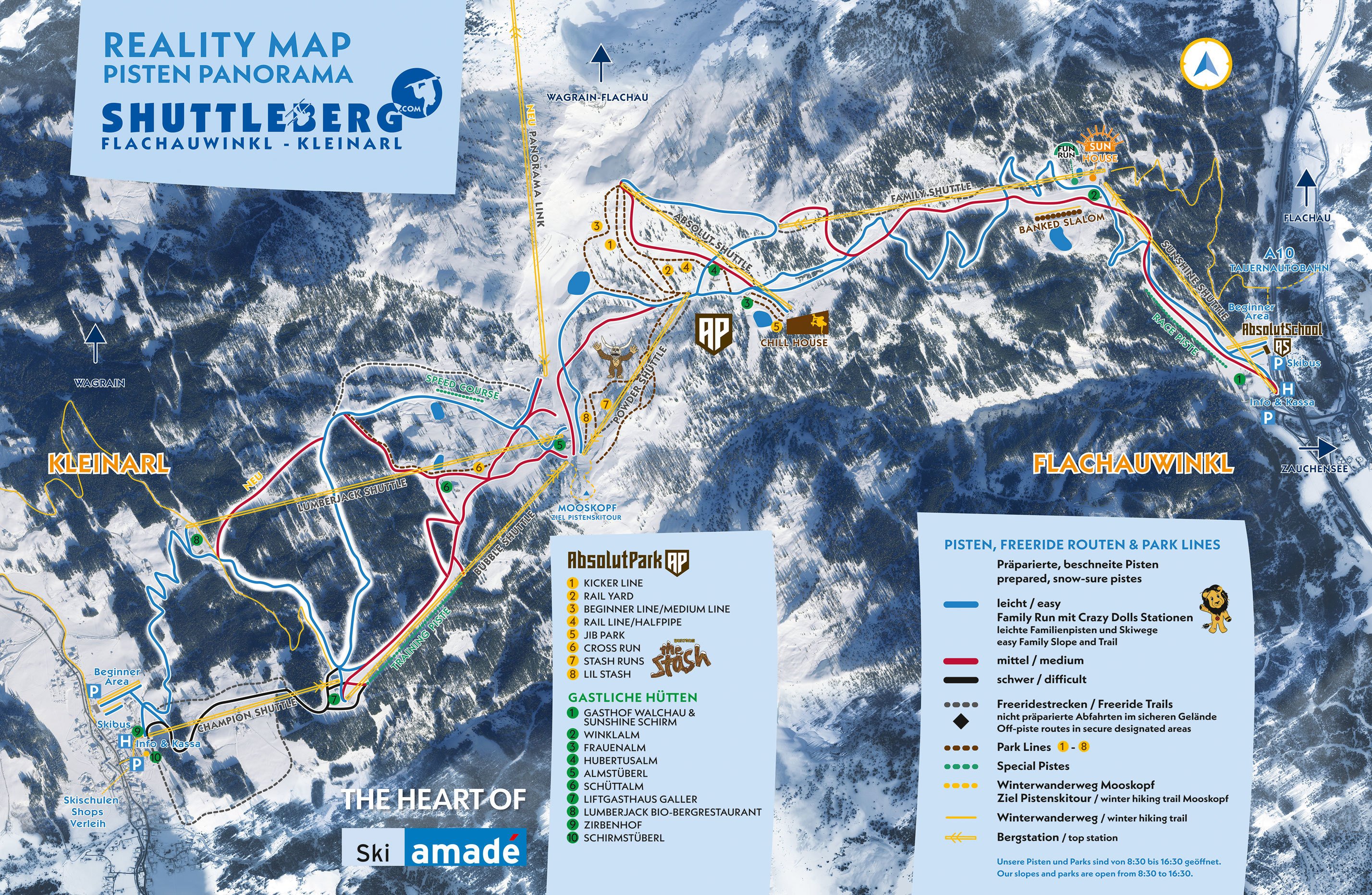
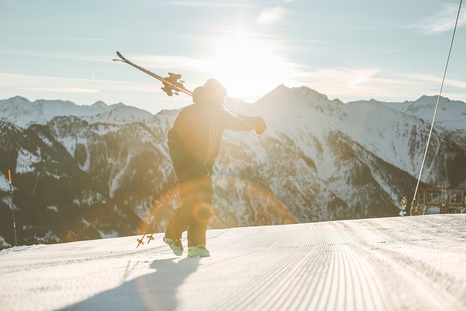
Our slopes and parks are open from 8:30 to 16:30. After this time, the slopes are closed and for safety reasons, it is not allowed to ski or to enter the slopes.
360-degree photo
The 360-degree panoramic picture shows you the Shuttleberg as realistically as possible. We took it from the air with a 360-degree camera so that you can see the whole mountain and get an optimal impression of the ski area. You can move the image with the mouse orfinger and zoom in and out if you want to have a closer look. It's almost as if you were standing on the mountain with binoculars and looking around.
Crazy Shuttleberg Dolls
 LAZY LUIS
 METAL MIZY
 DICKA TIGA
 HEAVY HIAS
 RUSTY RABY
 SPEEDY MARIDI
 JOHNNY PONY
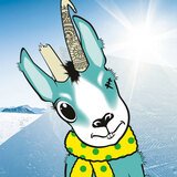
 WITTY & GITTI WAPITI
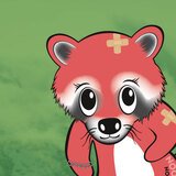 MAROON RACOON
 PINKY BLUE
 SHAPER SCHURL
 All Dolls